Parker Ridge Trail to Saskatchewan Glacier Outlook
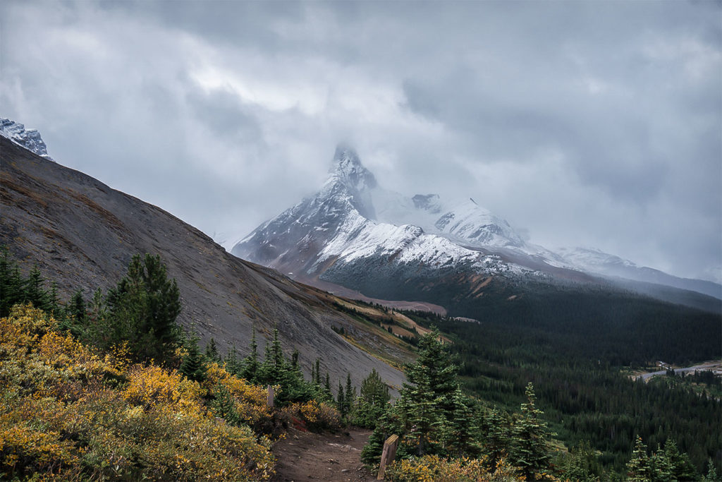
The view of the Eastern Arm of Athabasca Glacier
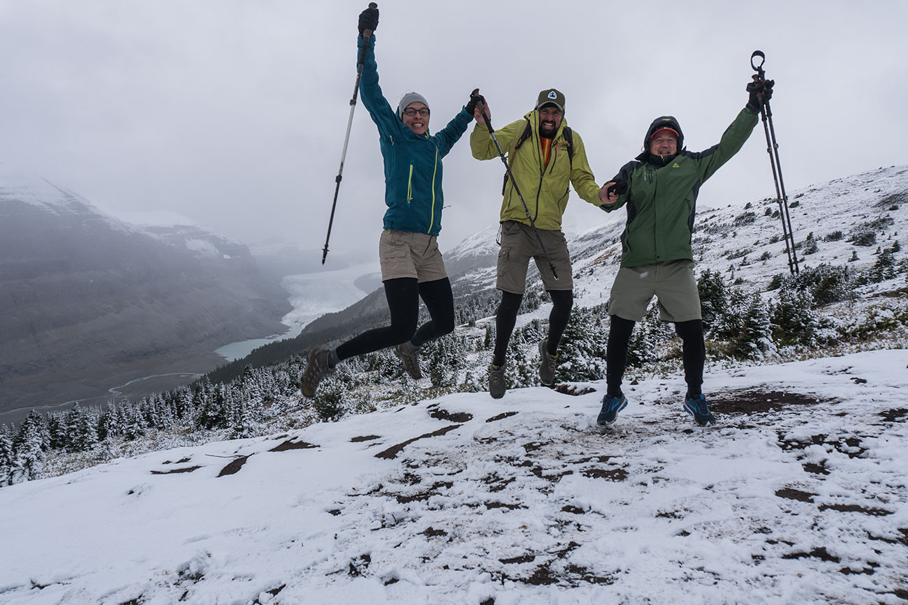
A must do hike for anyone visiting lower Jasper National Park region. This hike will take you to a beautiful ridge overlooking a valley that was once carved out by the giant Saskatchewan Glacier. If you’re feeling adventurous or simply wishing to get closer to Saskatchewan Glacier Overlook, follow our alternative track, but do so with caution and at your own risk.
Trip Information:
- Distance: 5 km (3.2 mi) round-trip
- Elevation Gain: 260 meters (850 ft)
- Estimated Duration: 2 – 3hrs round-trip
- Alltrails Map: Parker Ridge Hike

Parker Ridge is a fairly short hike with most of the elevation gain starting right at the trailhead. After series of switchbacks, you will quickly get above the treeline. When you finish climbing and get to the ridge, you will start seeing glimpse of the valley and surrounding peaks.
When you pass the trail junction, stay to the left for 0.4 miles until you reach the Saskatchewan Glacier Viewpoint, which will provide undisturbed 180 views of the Saskatchewan Valley and the Glacier far in the distance. ]


Once you return to the trail junction, you can take a slight left and hike for 0,3 miles to get to another scenic viewpoint, which opens up to panoramic views of the surrounding landscape. You can also choose to continue along Parker Ridge West Peak Route that is marked with blue dashes on the map. That will get you back to the highway where you will have to road walk to get back to the parking lot.
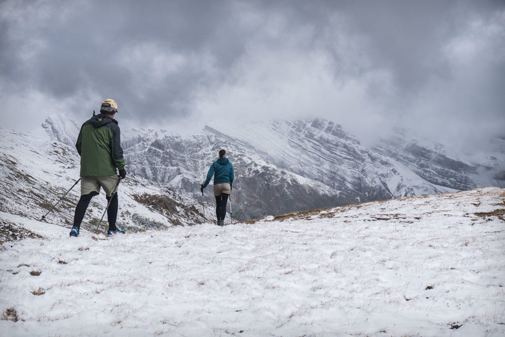


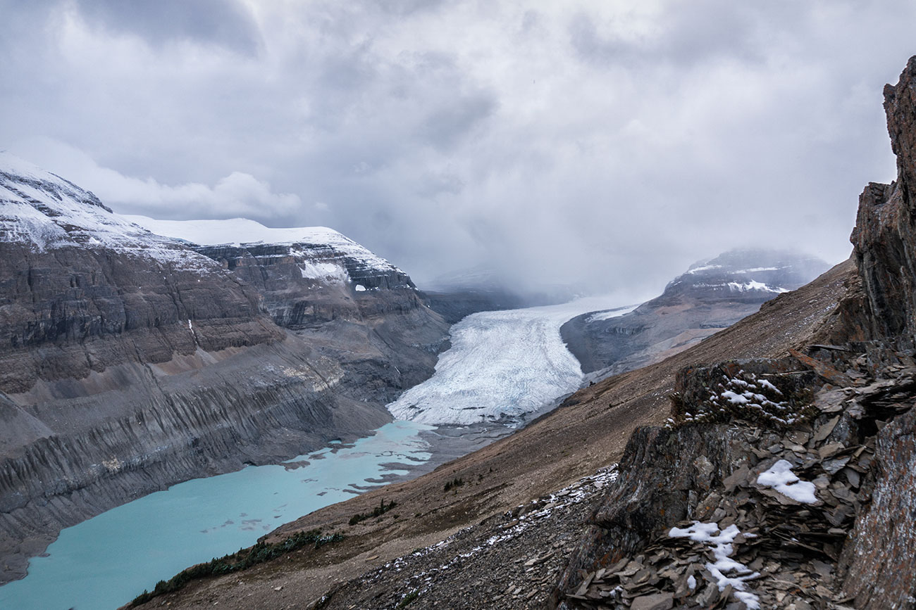
During our most recent trip, we decided to hike off-trail to do a bit of exploring and try to find a closer overlook of the Saskatchewan Glacier. There was no true trail so we just walked as far as we felt comfortable, stumbling upon a small alpine lake, for about 2 miles before turning around. We ended up getting much closer to the Glacier and it was a shame that there was a heavy overcast that day. If you don’t have any experience navigating off-trail, we do not recommend attempting such route, as it requires some scrambling and route finding on a rugged terrain. If you do feel confident and have off trail navigating experience, refer to the solid blue route that is outlined on the map above for more detailed coordinates of this trek.


