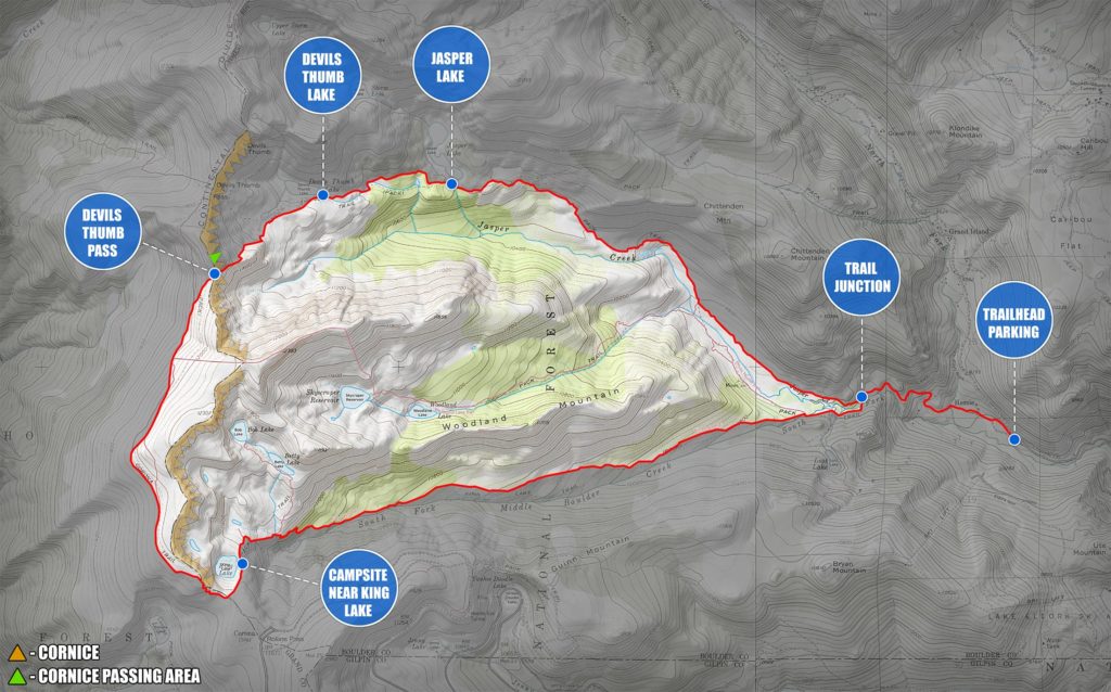
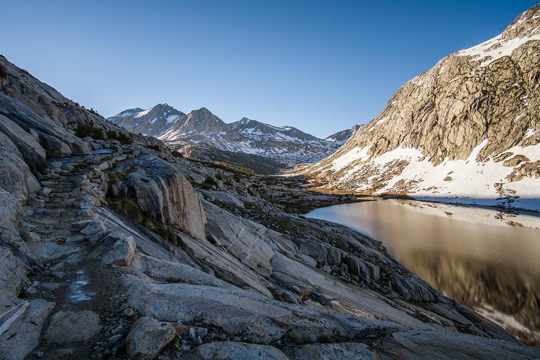
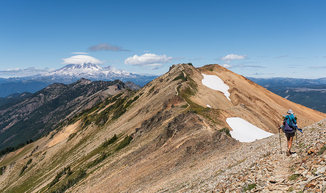
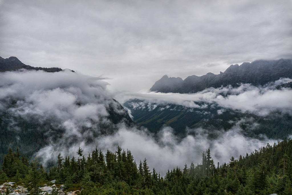
 An epic adventure through Colorado’s finest terrain. Get above 12,000ft (3,600m) and capture the beauty of high alpine with 360 panoramic views from the Devils Thumb pass. Explore pristine colors of Jasper, Devils Thumb and King Lake’s.
Important Information:
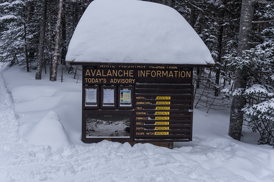
- Colorado Avalanche Information Center: If you’re planning any outdoor activities in the backcountry during winter, you must always check the avalanche condition before heading out. Do not take avalanches lightly, most of deaths occurring in the backcountry are caused by avalanches.
- Weather Forecast for South Arapaho Peak: I’ve had a lot of luck with mountain-forecast web site. You can select nearby peaks and explore weather conditions at different altitudes. This is extremely helpful as it can provide comprehensive temperatures, rain/snow and wind speed forecasts.
- Annual Weather Conditions for Colorado Rockies: If you never been to this region, the information on this web site will help you understand what the conditions would be like when you arrive.
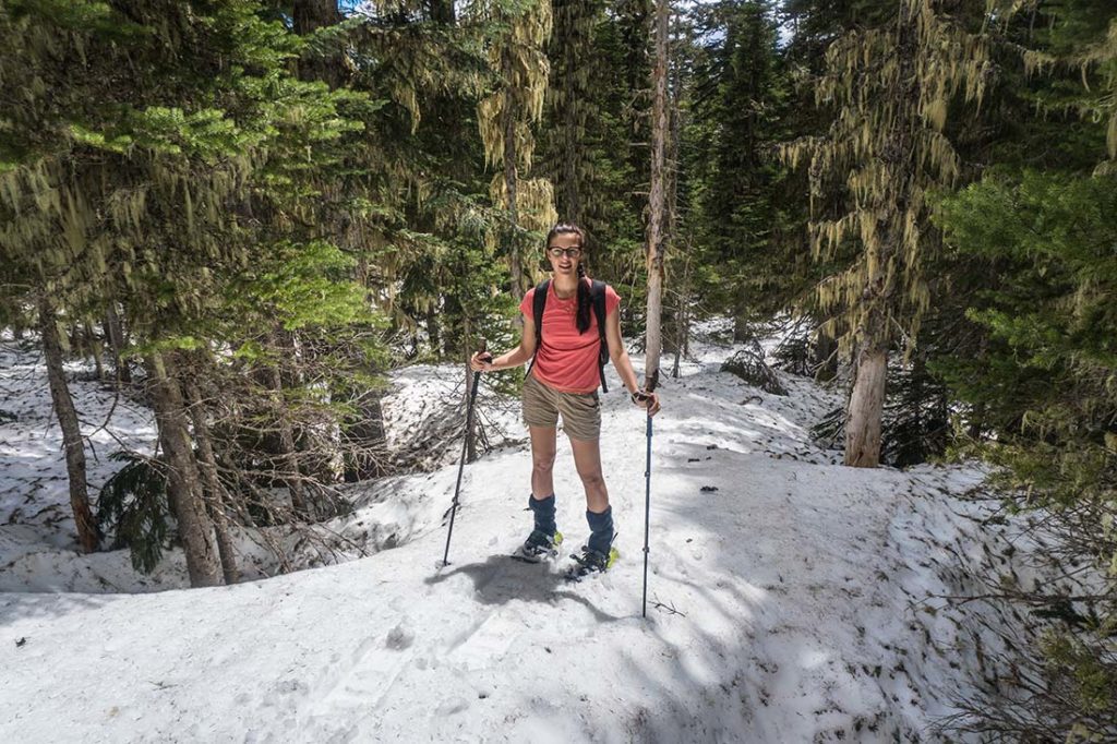
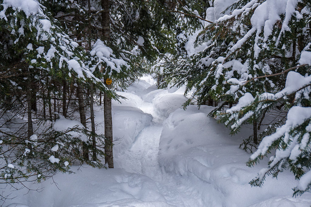
- Winter Navigation Skills are Required: During summer, the trail is very visible and easy to follow. During winter, there is no trail and you will have to completely rely on your paper maps or navigation device.
Hike Information:
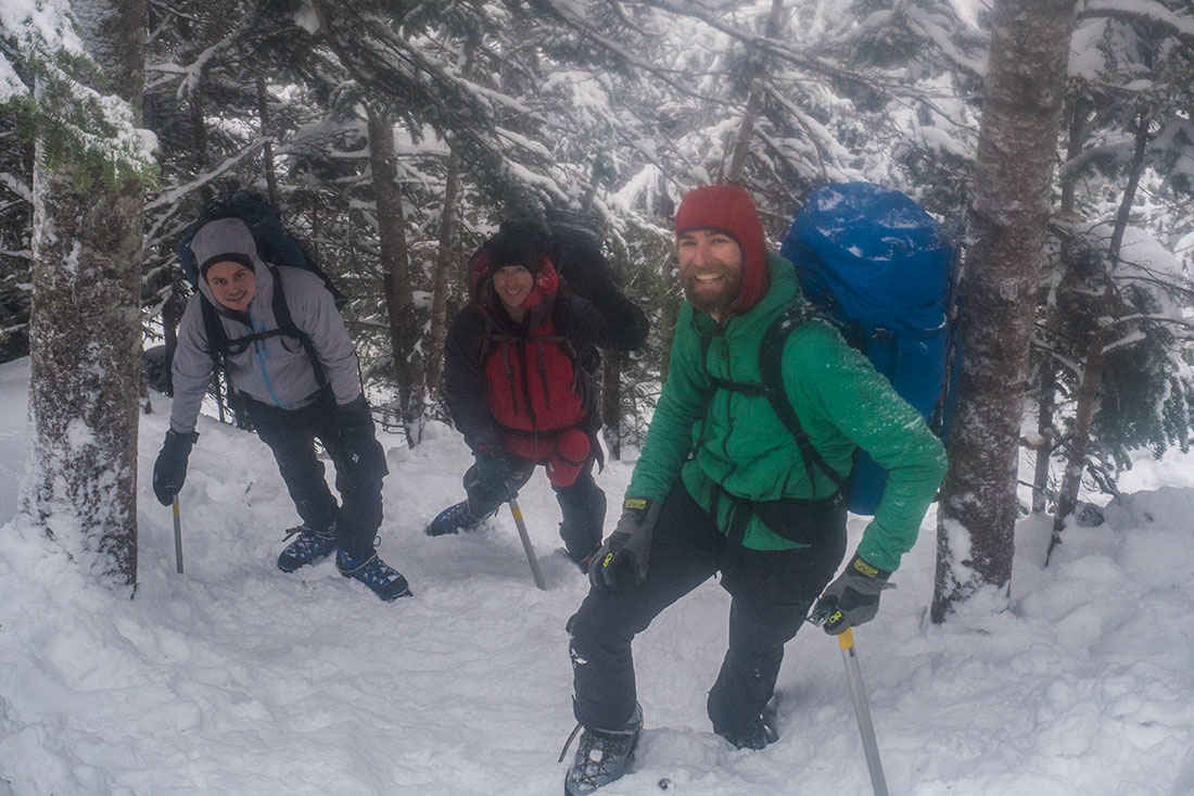
I’ve never been to Colorado, but always wanted to experience the Rockies covered in snow. While poking at different trails, I’ve found an interesting loop that could potentially be doable in winter conditions. After investing a good amount of my time in research and after seeking advice on Colorado 14ers forums – I was finally starting to feel comfortable enough to book a trip and attempt the circuit.
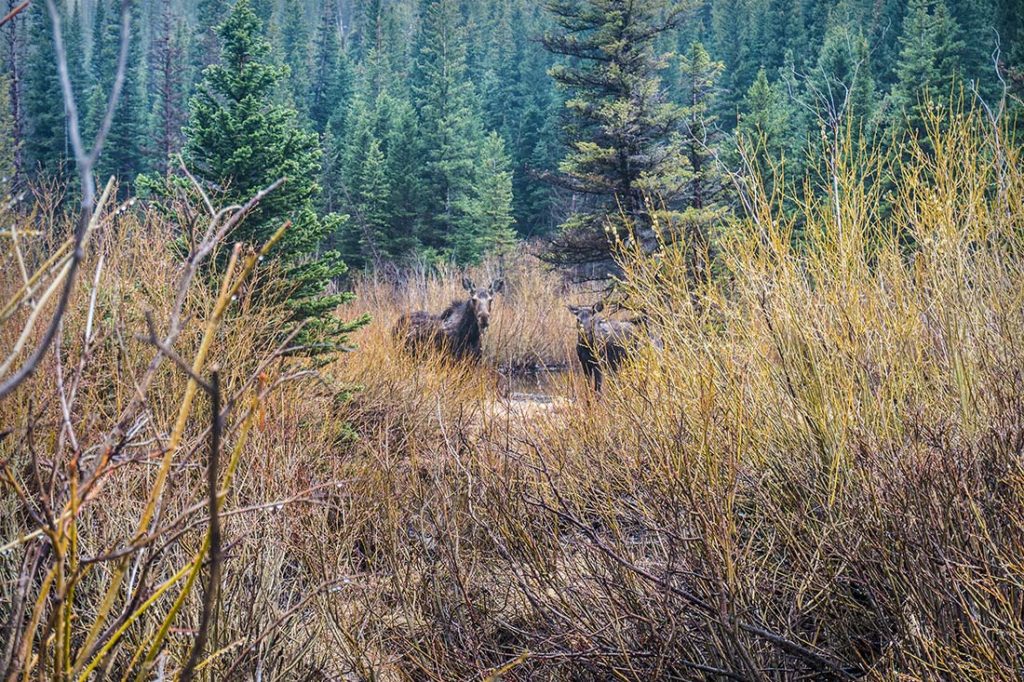
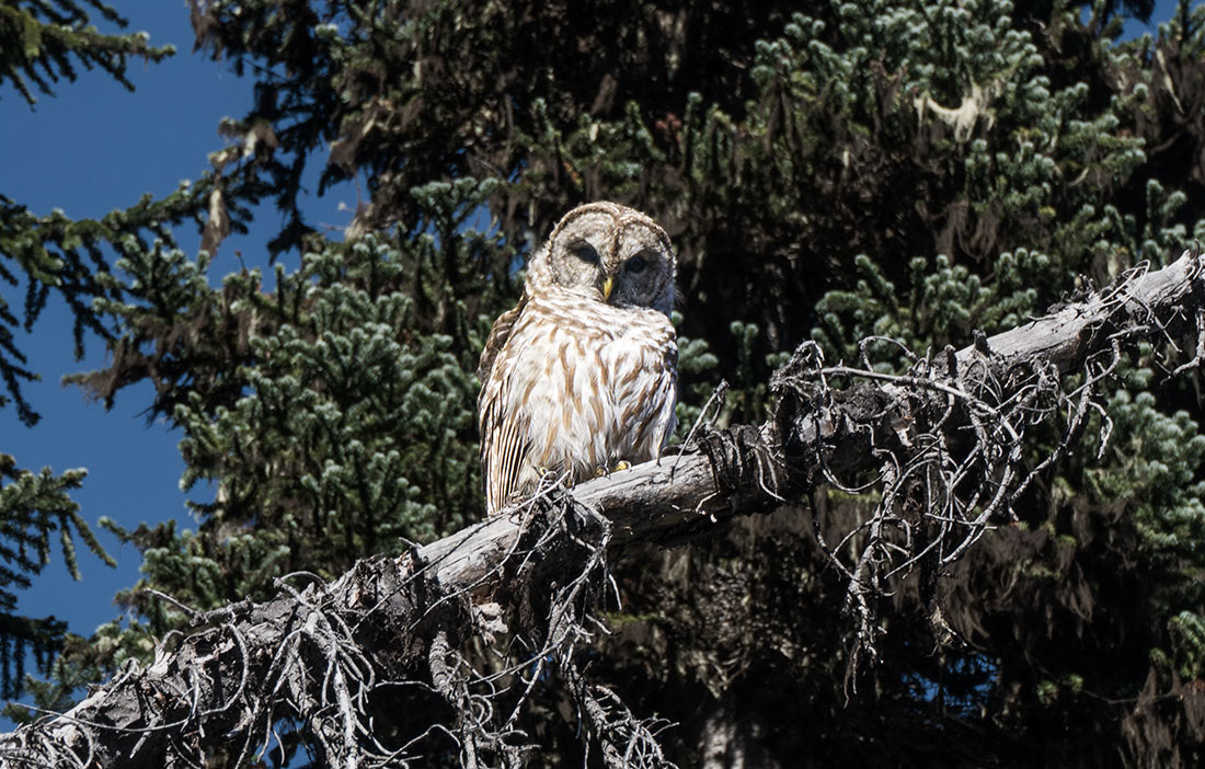
Moma Moose and the Cub!
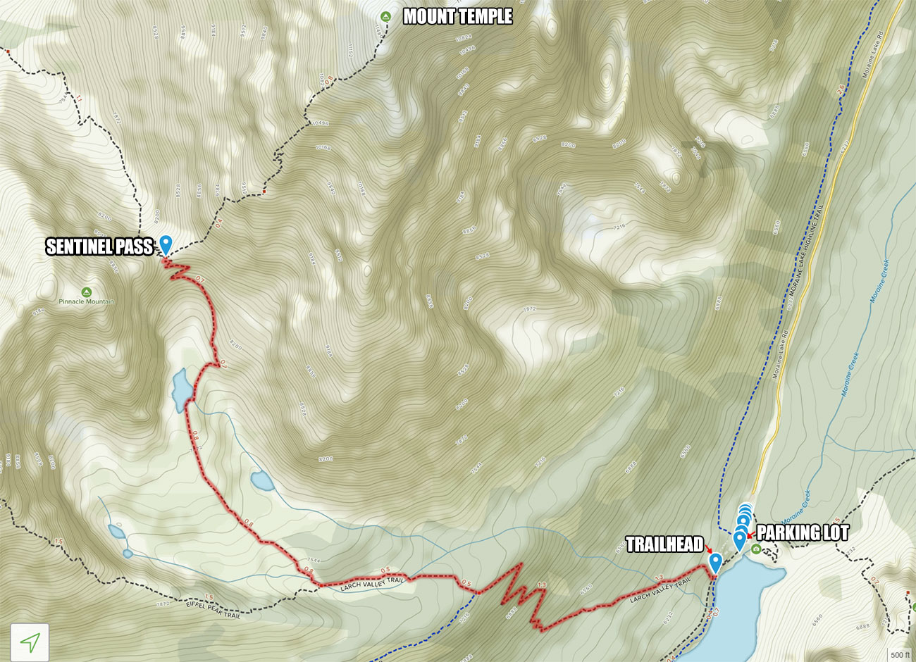
Parking and Start of the Trail Info
When you arrive at the intersection of Hessie Rd & 4th of July Rd, park your car on the side of the road and head west on Hessie Rd. If you have a high clearance vehicle, you can also drive a little further and park along the road.
After hiking for some time on a curvy service road, the trail will narrow and you will come to a junction by the creek crossing. There was not much snow at lower elevations, so we took the original Devils Thumb Trail instead of Devils Thumb Bypass Trail. I would recommend taking a bypass trail if snow levels are high.
Trail Condition & Terrain Info
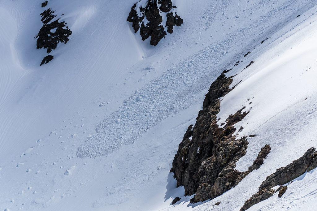
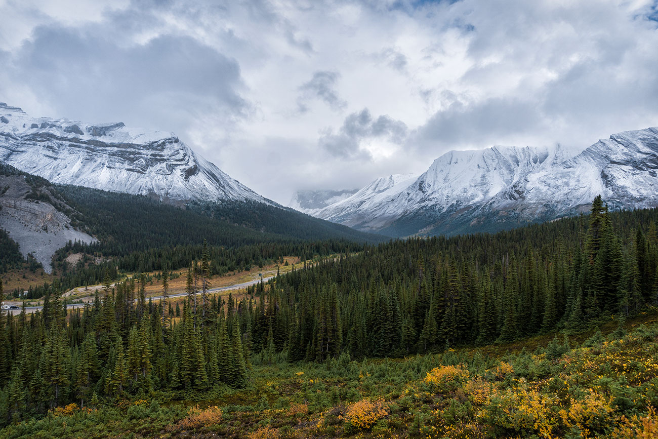
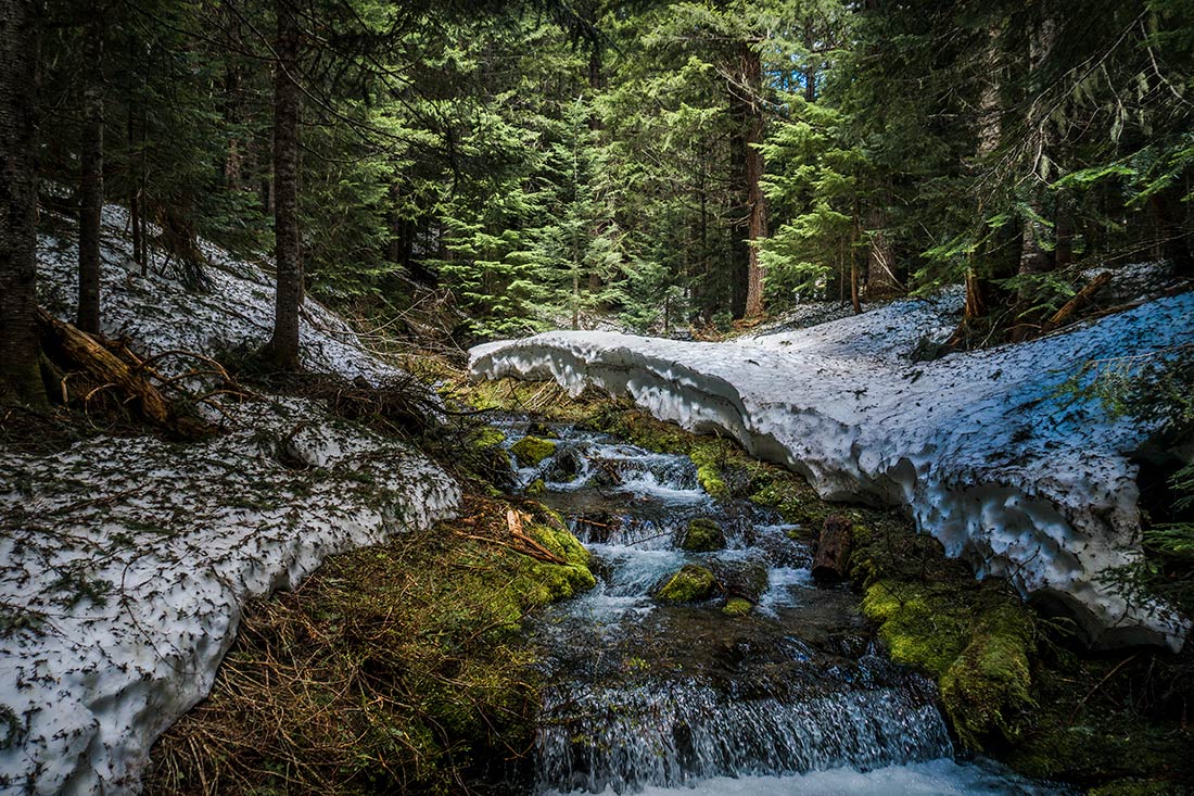
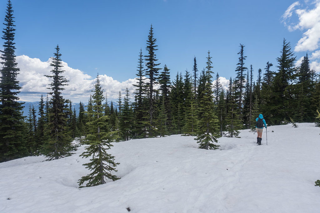
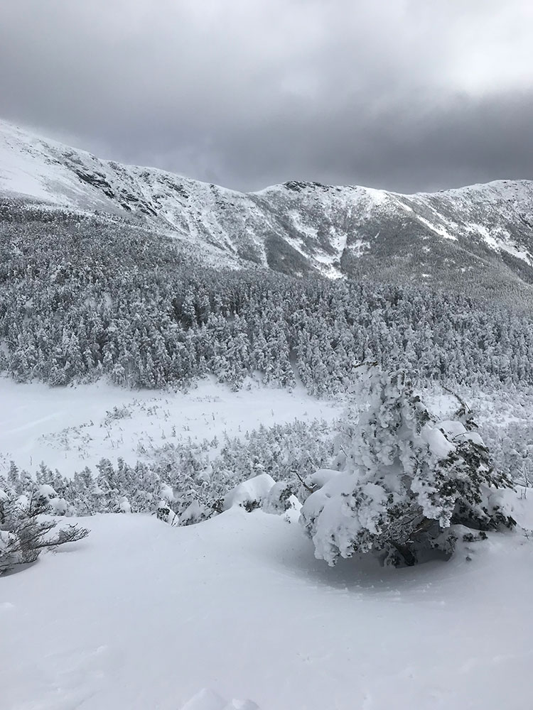
Once you get deeper into the valley, the trail will gradually climb and you’ll find yourself in winter wonderland. You will be hiking not to far from Jasper creek until you start ascending toward Jasper lake. It gets a little complicated in terms of route finding during a short climb toward Jasper lake. There are a lot of trees and if you get off track, watch out for south part of the woods. There are few sudden 10-20 feet drops, that has small cornices on them. You won’t see it until you stand on top of dangerous and unstable snow.
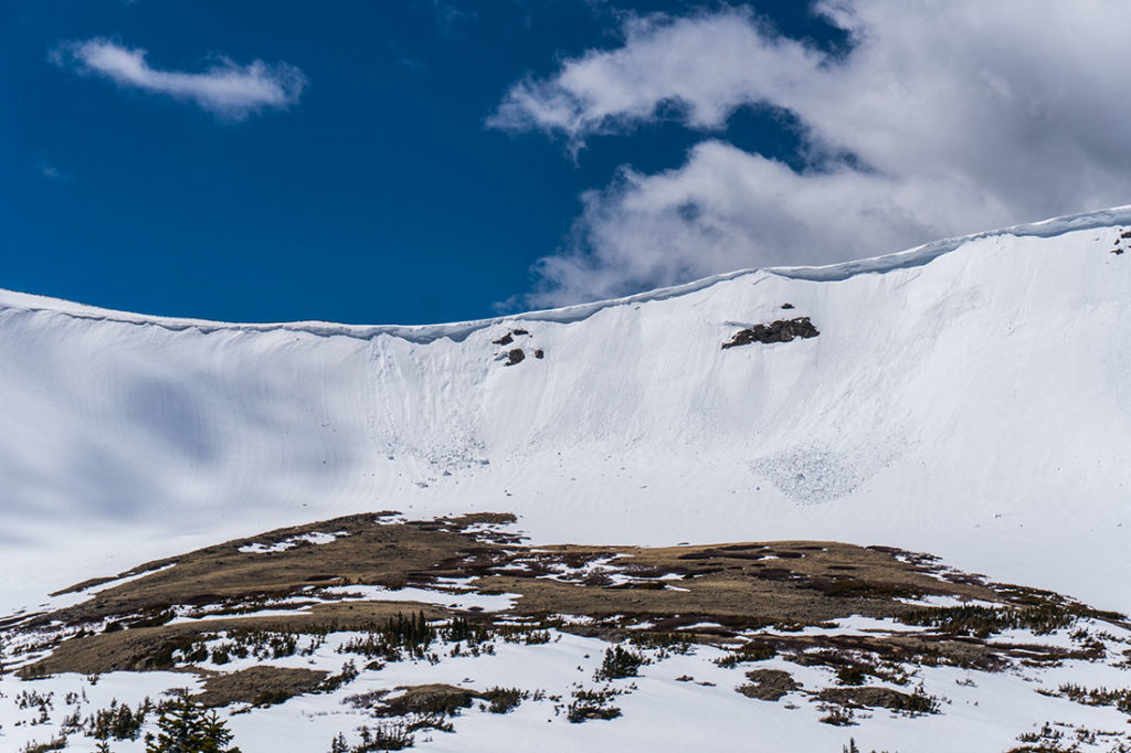
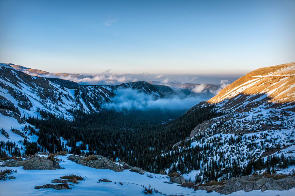
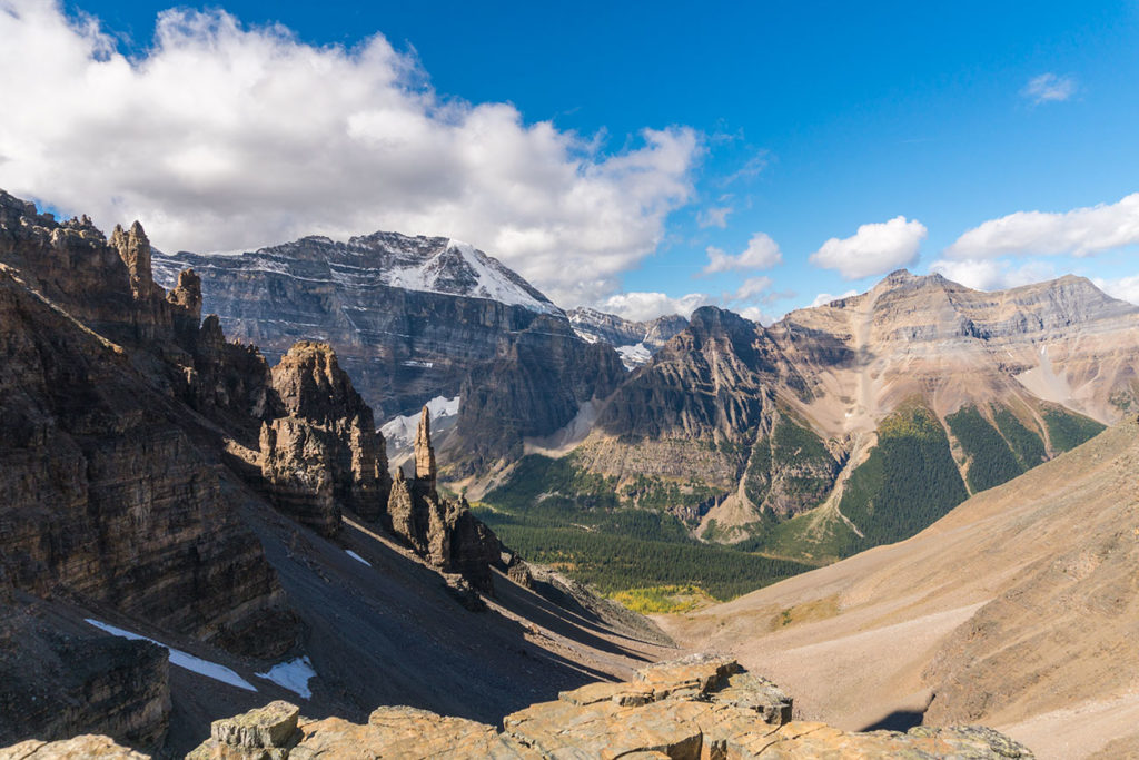
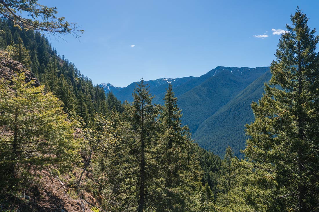
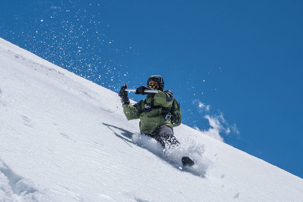
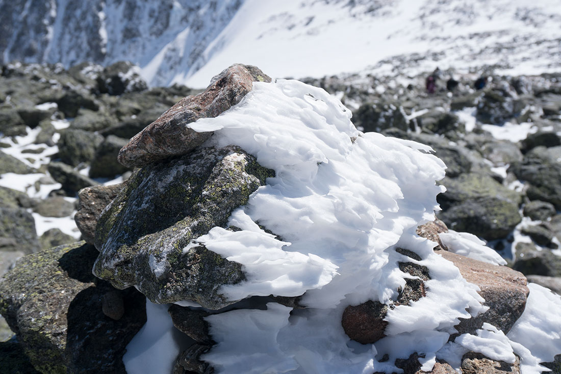
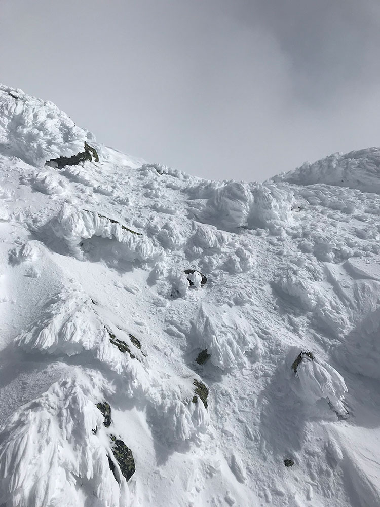
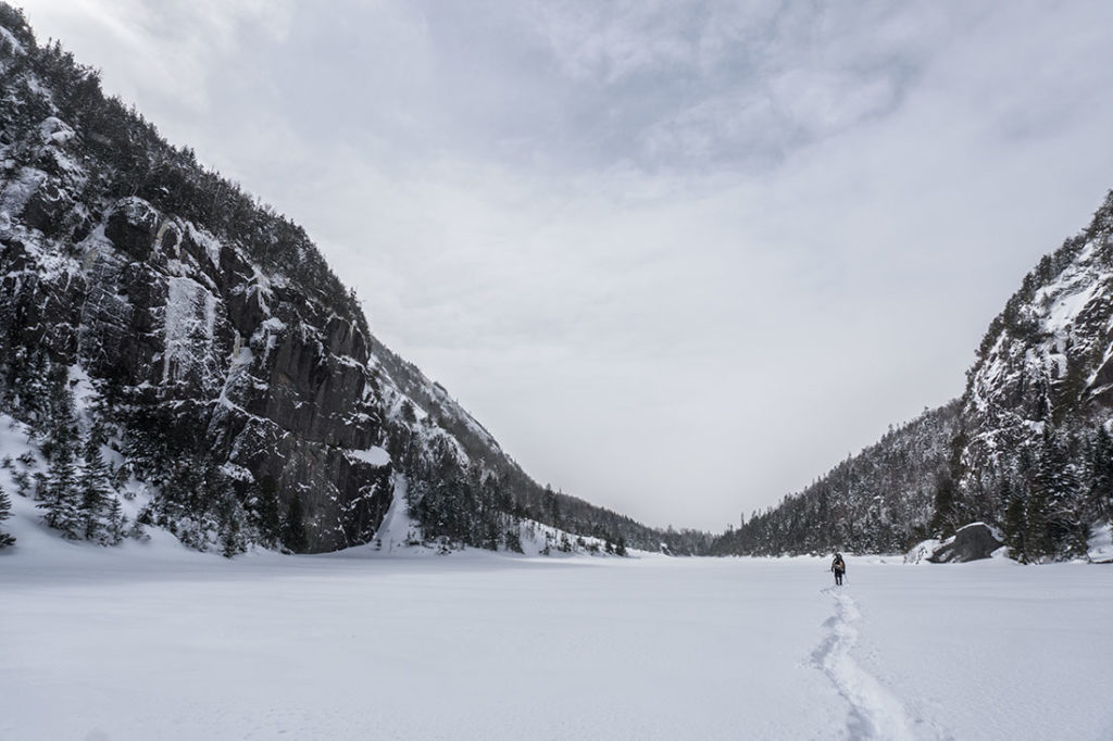
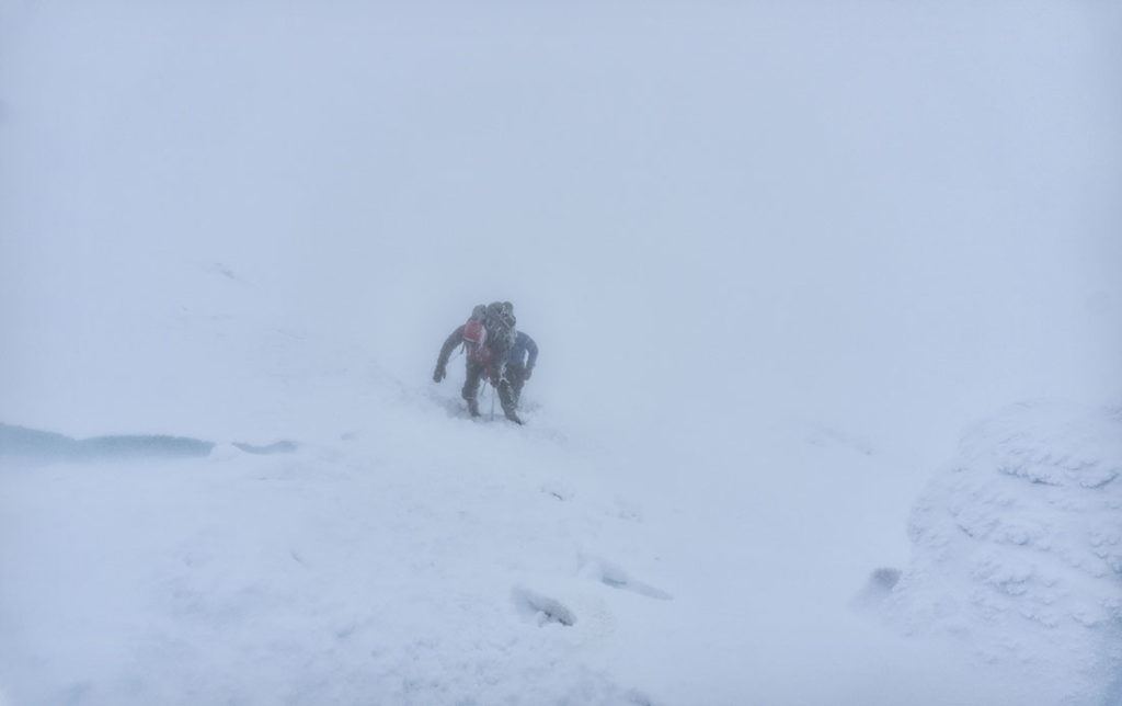
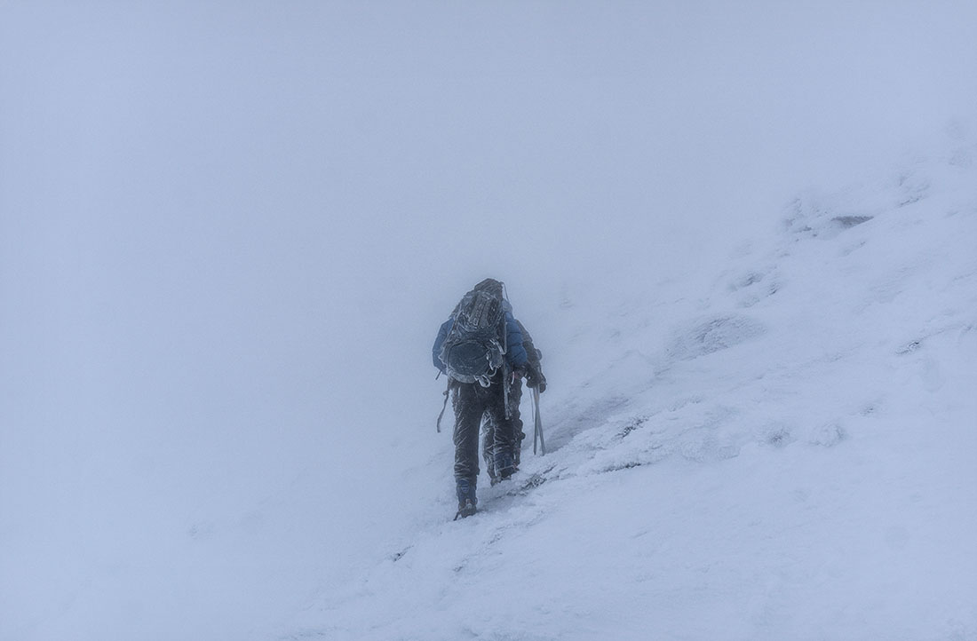
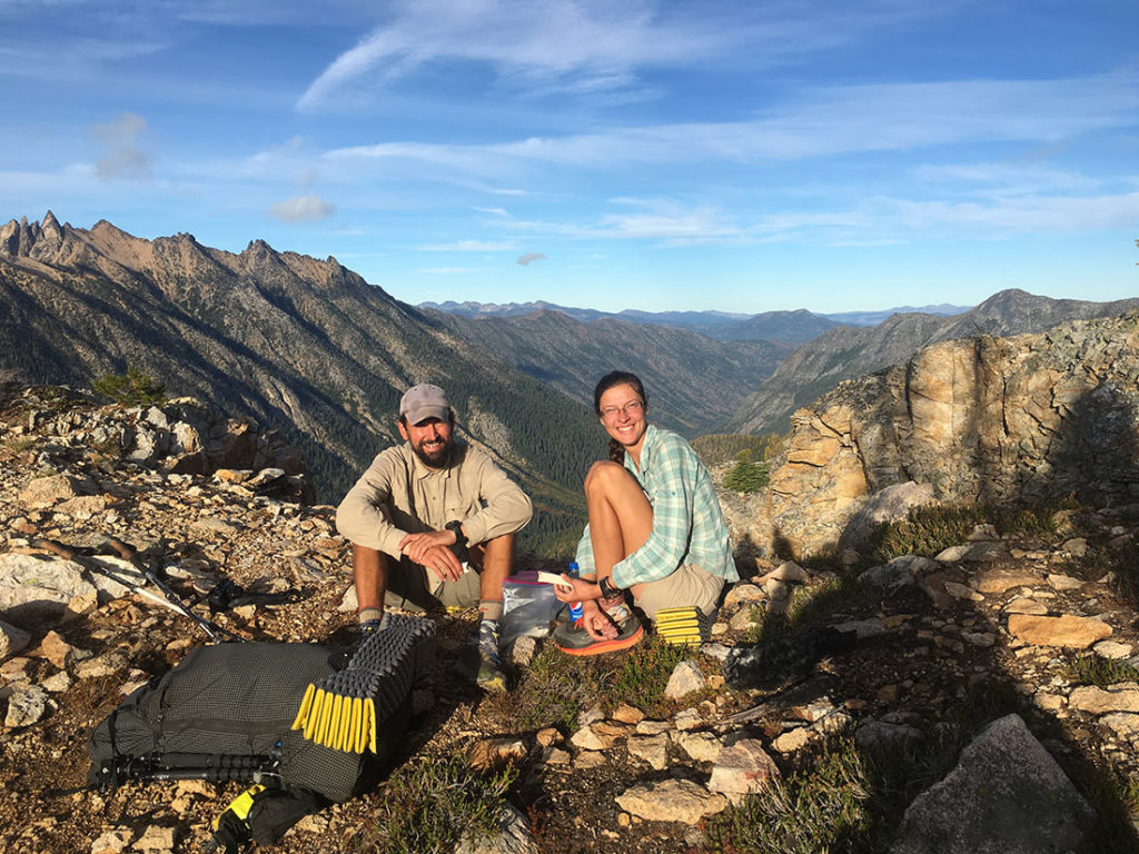
When you start getting closer toward Devils Thumb Lake, the terrain will open up and you will see 360 views of surrounding peaks. It’s a perfect spot to eat lunch or get some warm clothing ready as once you get over the pass, it will get very windy. Once passed the lake, we got a full view of what was ahead of us – a powerful cornices at most of the Western Slopes, including Devils Thumb Pass. I’m from the East Coast and things like snow cornices are very rare. We do get some avalanches in areas like White Mountain’s in NH, but nothing like here in Colorado.
Devils Pass Climb Info
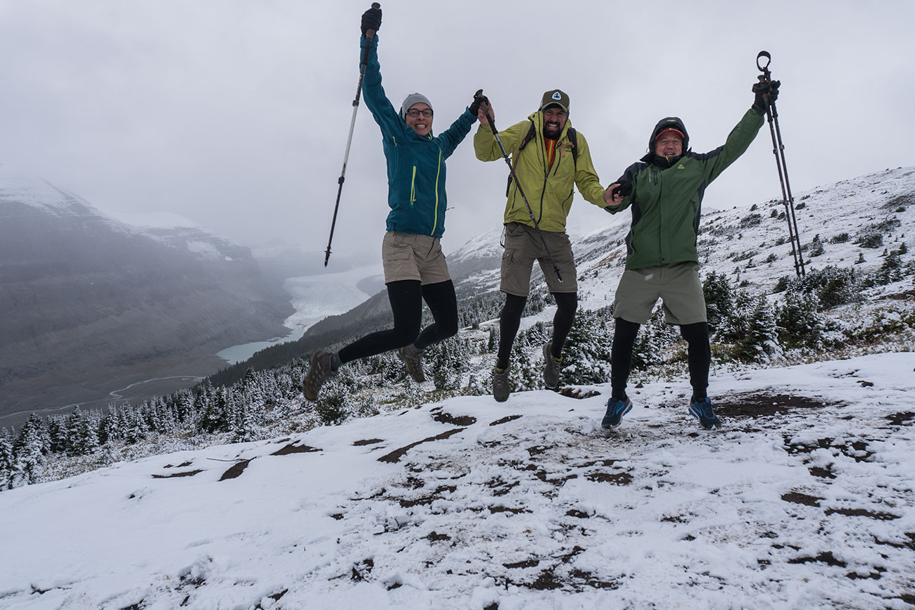
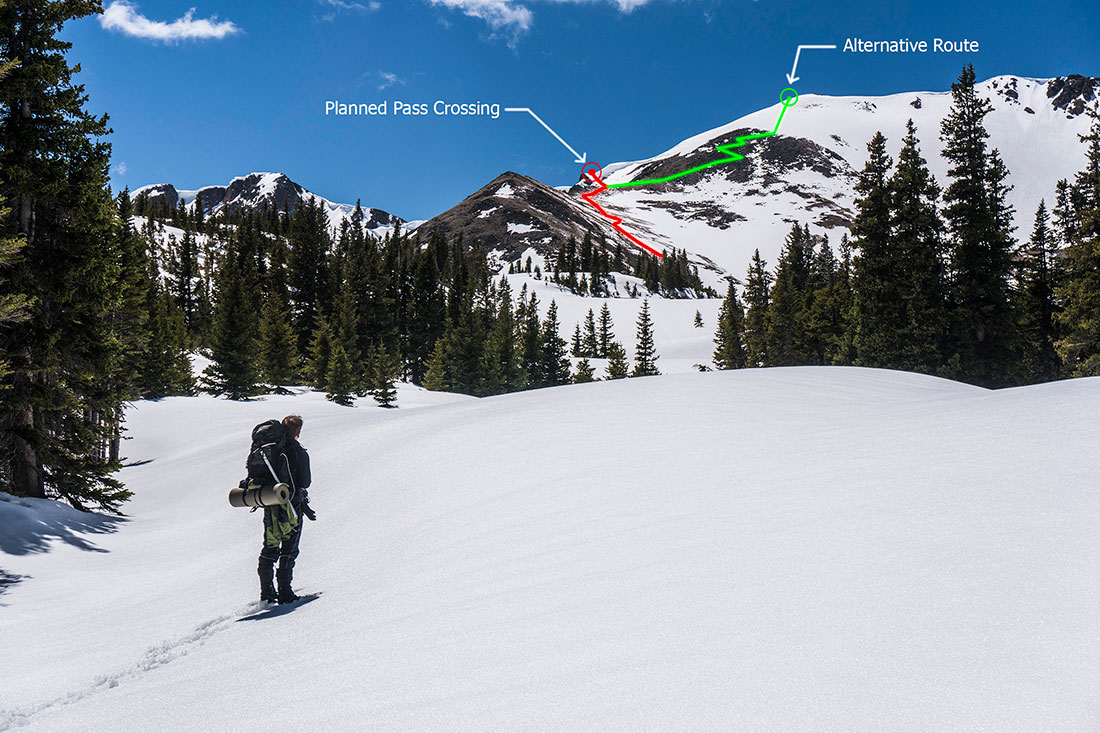
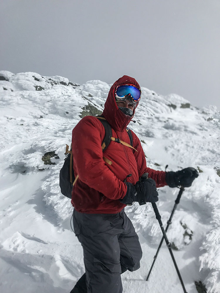
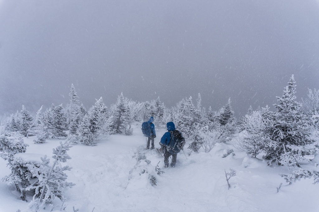
Luckily, the weather was clear and we were able to pin-point a route that would provide us with a safe passage. During my initial research I was warned that I would most likely encounter avalanche conditions and cornices on the westerns slopes. We took it slow walking on top of what looked like a perfectly smooth popcorn ceiling. After a short climb, we were right on top of Continental Divide Trail, with a heavy wind pounding in our faces.
Hiking on top of Continental Divide Trail toward King Lake
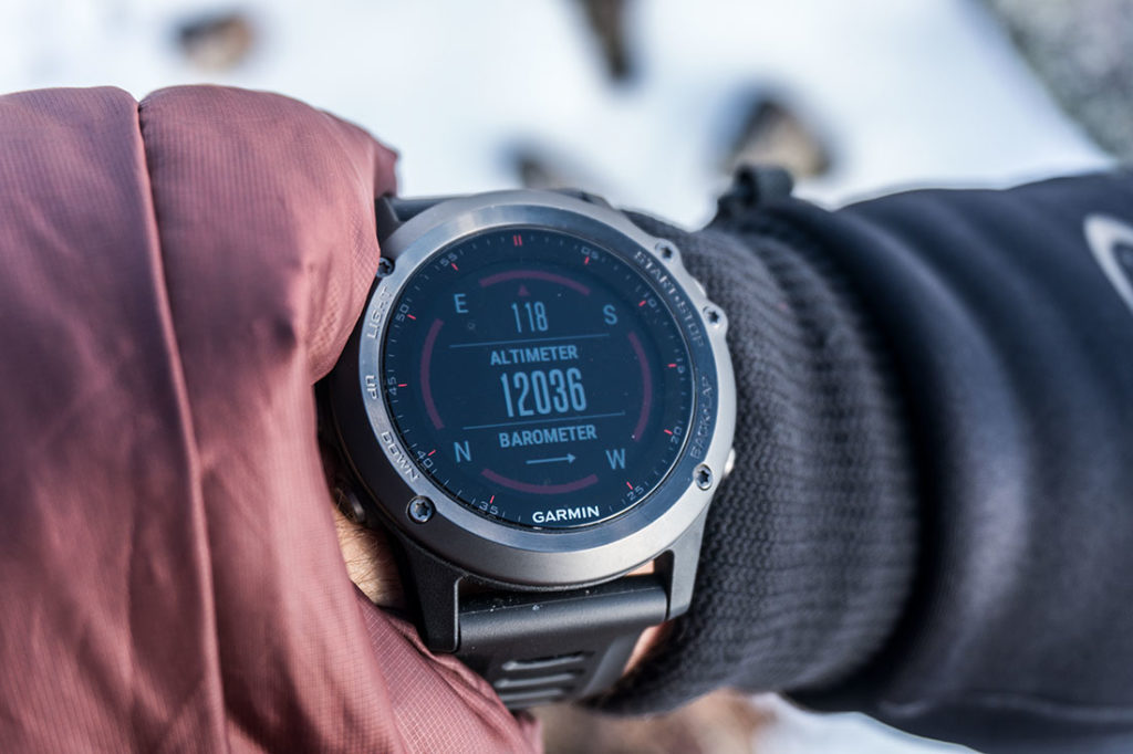
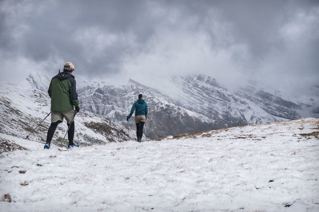
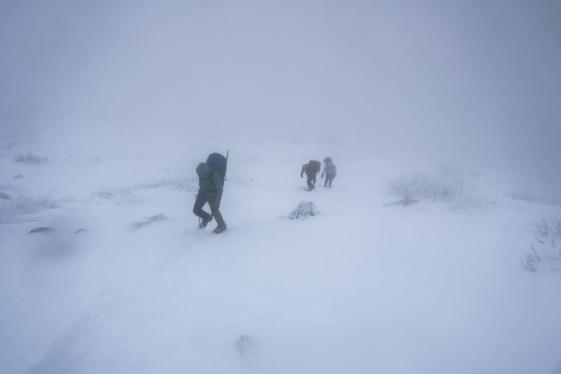
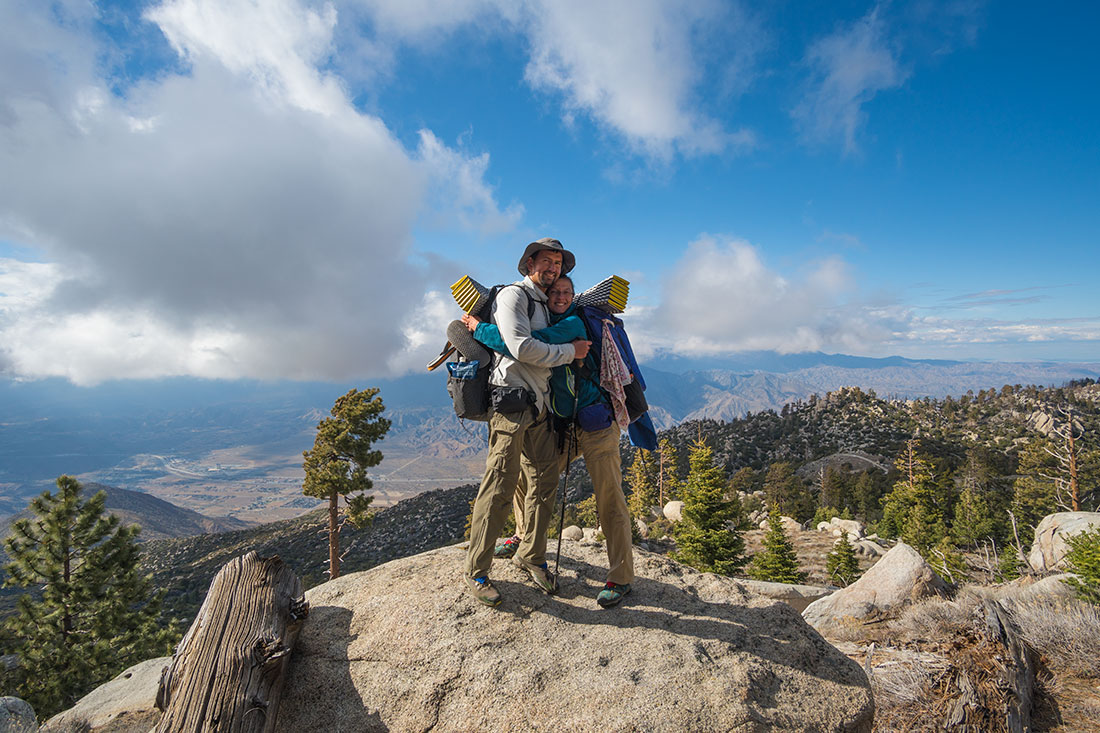
Once you get over the top, you may realize that you are now hiking at over 12,000ft (3,600m) elevation. If you’re local, you may not feel the tiredness or elevation kick right away, but considering that only yesterday we were at sea level elevation, being at over 12,000ft was substantially making things a bit uneasy.
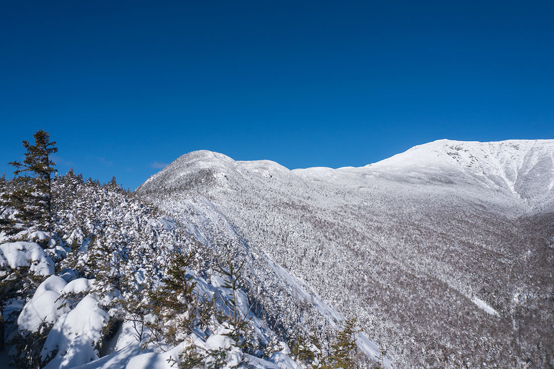
From here it’s pretty straight forward, just hike along the ridge and stay away from cornices that are facing east. Once you reach the end of the ridge, please examine snow conditions and find a safer route to descend down to the lake. We couldn’t see if there was a cornice on the SE side of the slope, so we stayed a little to the SW of the slope in order to safely get down.
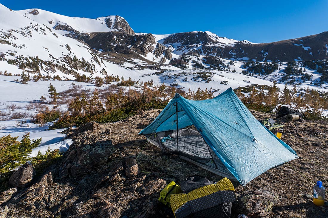
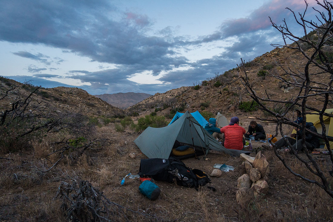
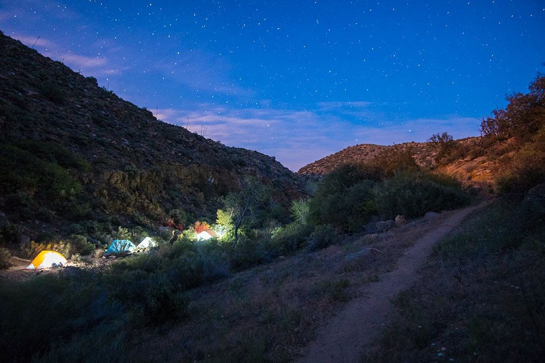
Camp at King Lake
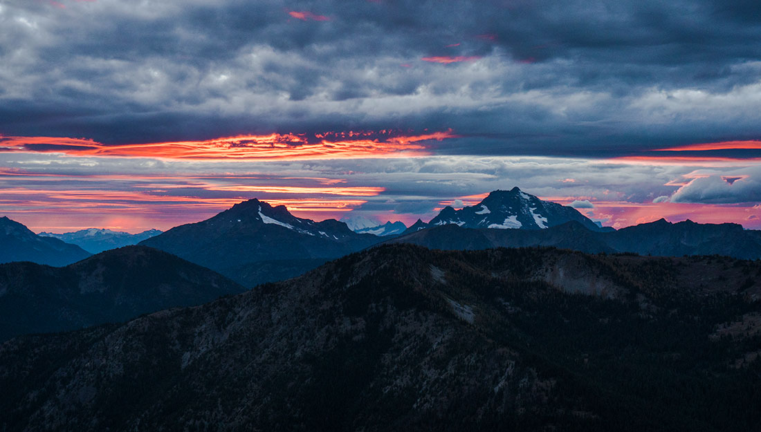
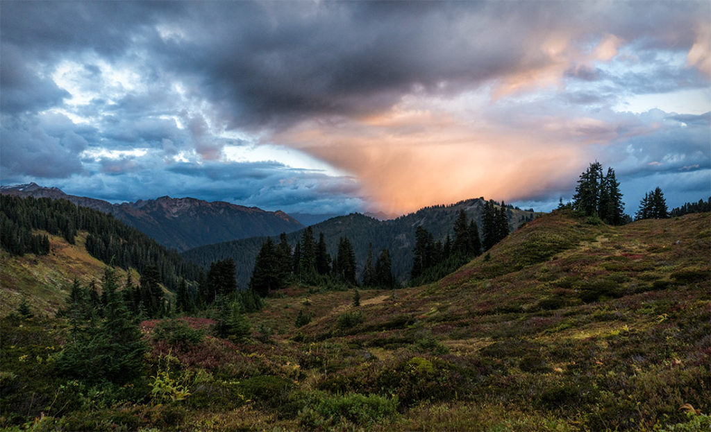
By the time we got to King lake, we were completely exhausted and the sun was setting down. It was an approximately a 10 mile day for us, potholing in snowshoes and feeling the effect of high altitude. However, we did find a nice camp site on the NE side of the lake. There was no water, as everything around us was frozen and we ended up melting snow. Once we got done with eating dinner, we enjoyed the sunset and then were off to sleep.
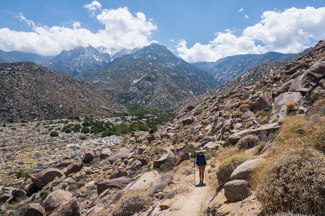
In the morning, we woke up a little to late, not feeling hungry and still tired. We packed up our bags and rushed down the valley before snow become soft. It was easy and beautiful hike back down to the car.


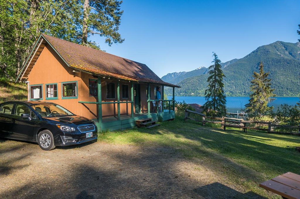


 We woke up early in the morning and had a delicious breakfast at the main lodge (which was also included in the price). After checking out from our cabin, we drove for 15 minutes to


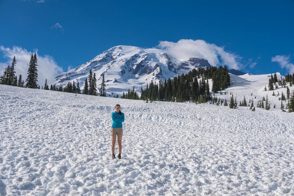
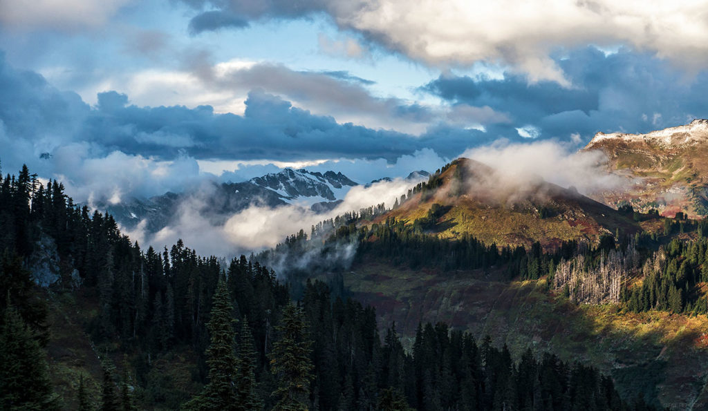
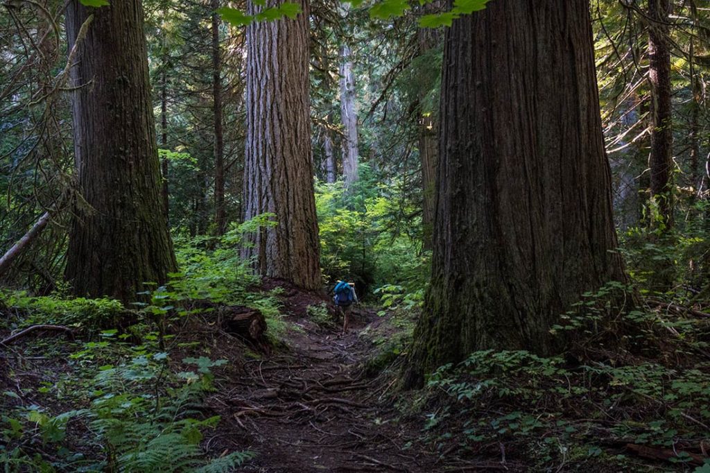
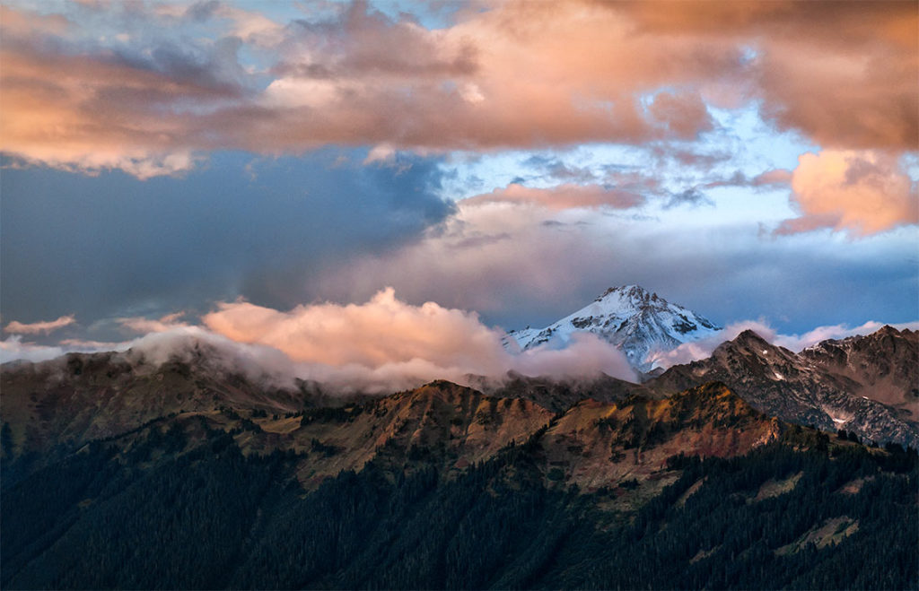
 A classic hike, located at the South West foothills of Mt.Rainier. The trail takes you through a beautiful pine forest and up above the treeline. Once out in the open, you will find yourself standing in front of fourteen & half thousand feet giant glacial volcano, with 270 degree panoramic views of the entire region.


 At this point, the terrain toward second and third scenic viewpoints looked a little more complicated with some small cornices along the way. Not taking any chances, we decided to turn around and head back toward the trailhead. Later that day we visited Paradise Valley Visitors Center, which is the highest point accessible by car. We walked around for some time and explored whole new different views of Mt.Rainier.


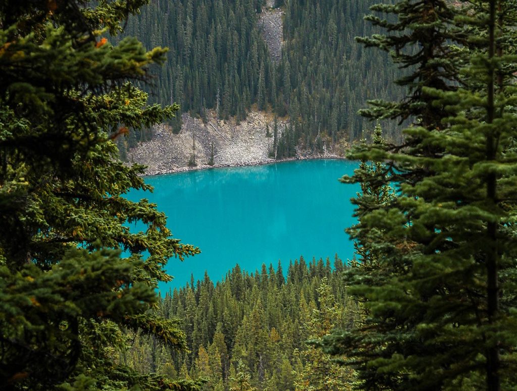
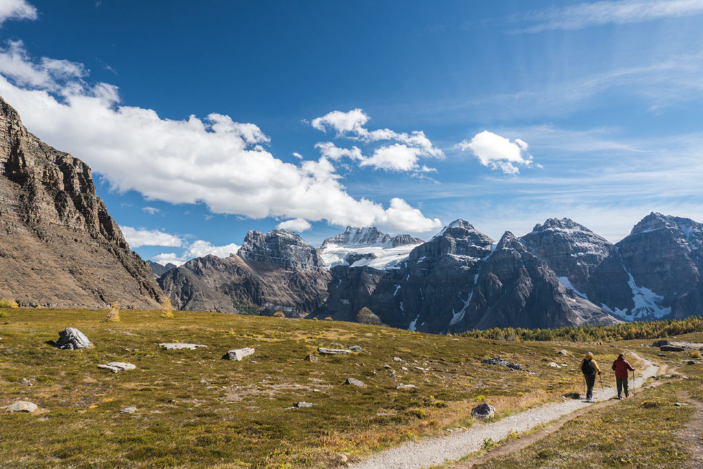
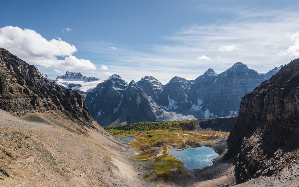
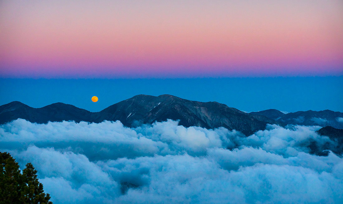
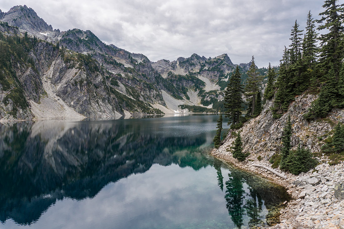
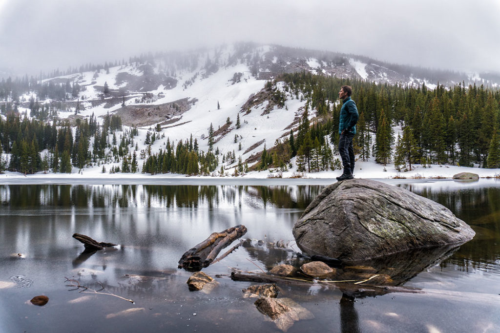 A short and simple hike that takes you to a beautiful alpine lake in Colorado’s Arapaho National Forest. The lake is situated at 10,000ft (3,000m) in Colorado Rockies and offer backcountry camping along with exceptional views of the lake and it’s surroundings. Campsites are first come, first served and you can camp in designated sites or pitch tents within 30 feet of campsite makers. Map and additional information can be found here:
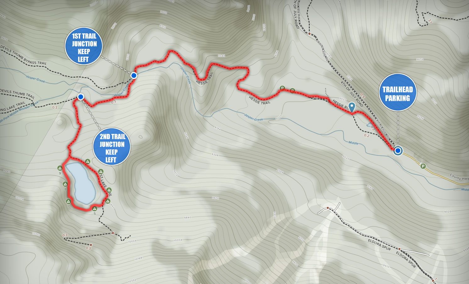


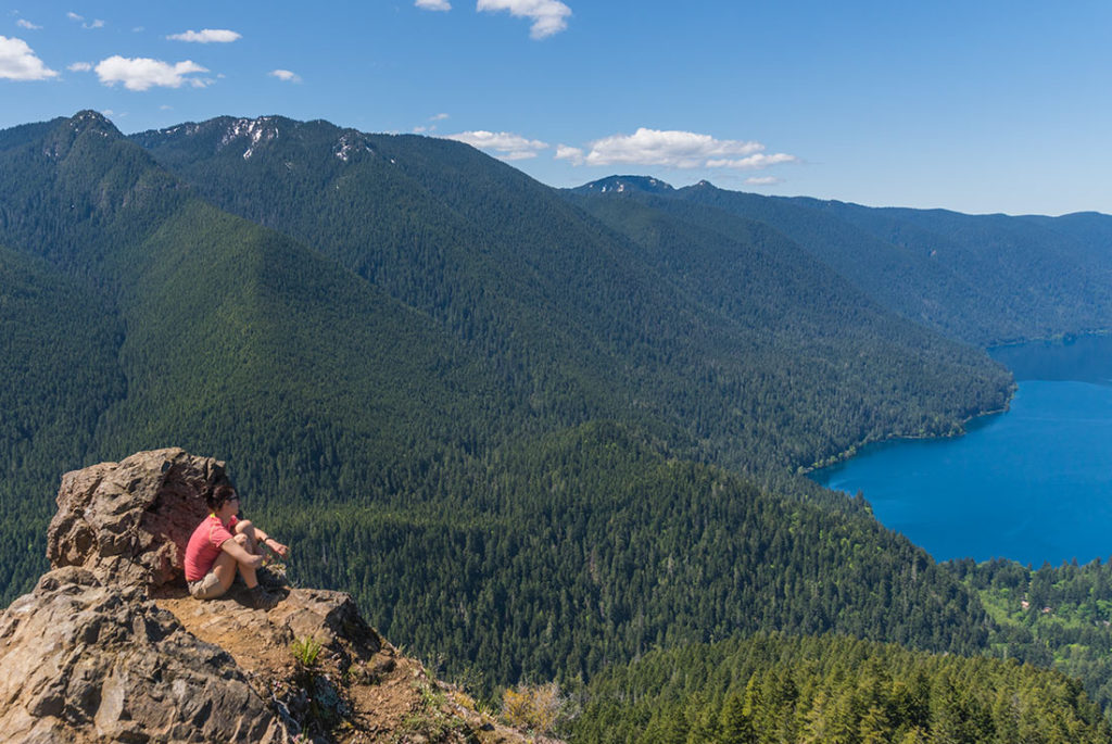
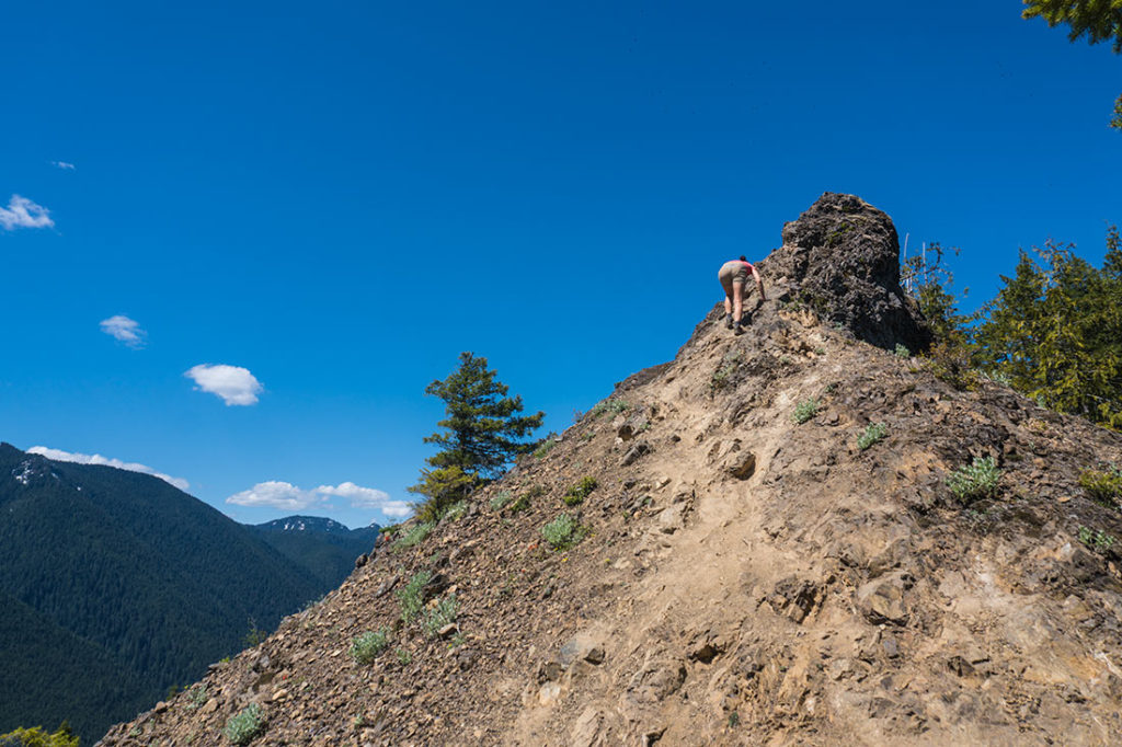
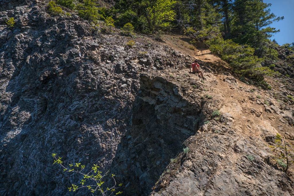
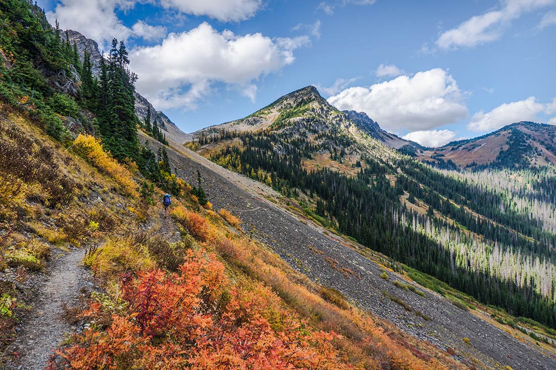
 This is an extremely unique and fun hike! The views at the top are spectacular, overlooking a big part of Olympic National Park and the Vancouver Island. Please keep in mind that this trail might not be for everyone. Toward the end, there are few very steep section where you would have to scramble in order to get to the very top. Please examine some of the photos below and see if this is something that you would like to do.


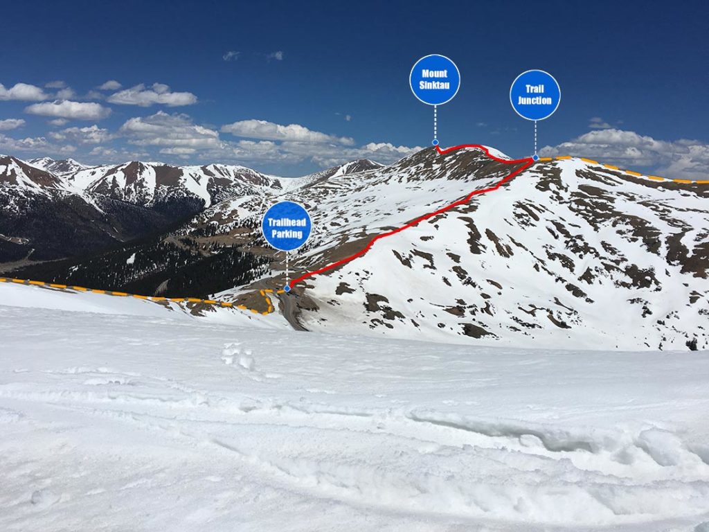
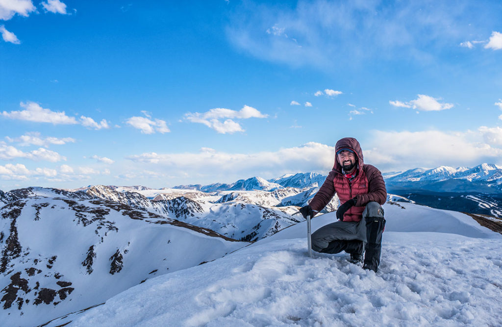 An easily accessible and fairly easy hike to the top of Mount Sniktau. You will get an opportunity to experience 360 degree views and breathe thin air above 13,000ft (4,000m). If you’re looking to get acclimatized and get an elevation kick? You came to the right place!


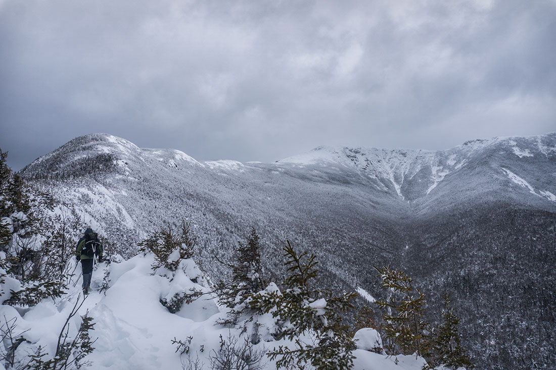
 One of the most iconic hikes on the Eastern United States that you can do all year round. Hike to the top of Mount Washington, which is considered as one of the most dangerous mountains in the United States and experience the might and beauty of New England’s finest terrain!


 Recognized by National Geographic as one of the
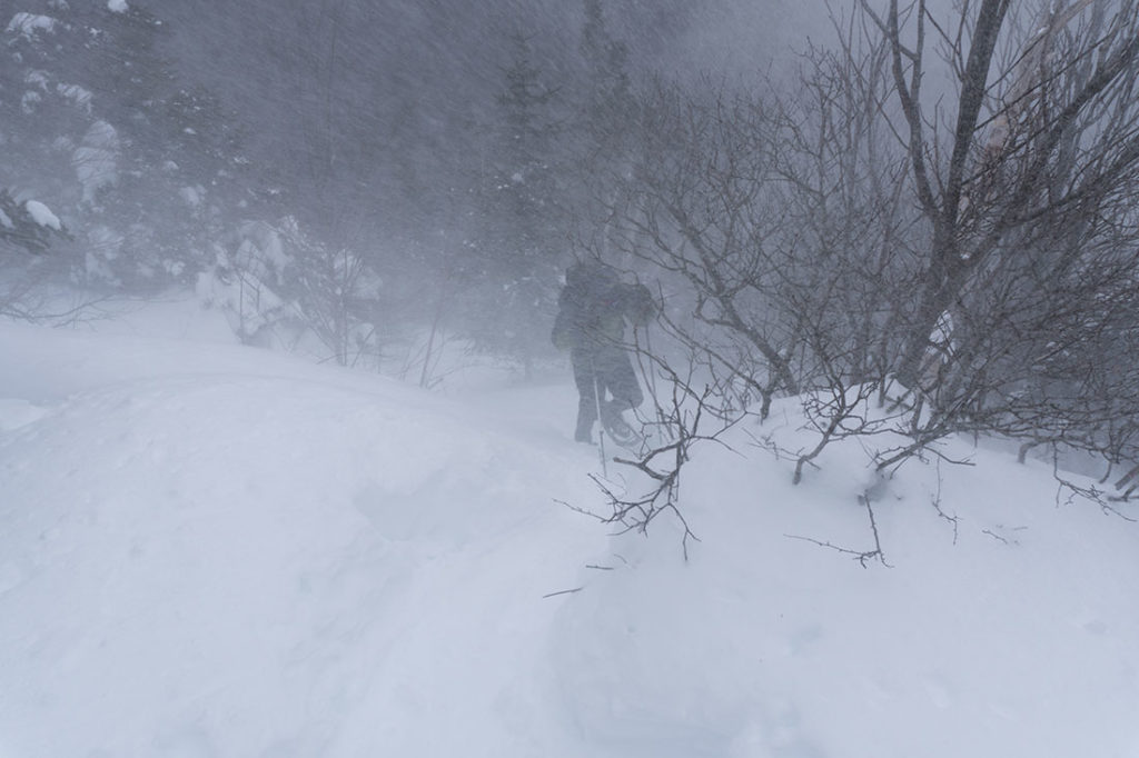

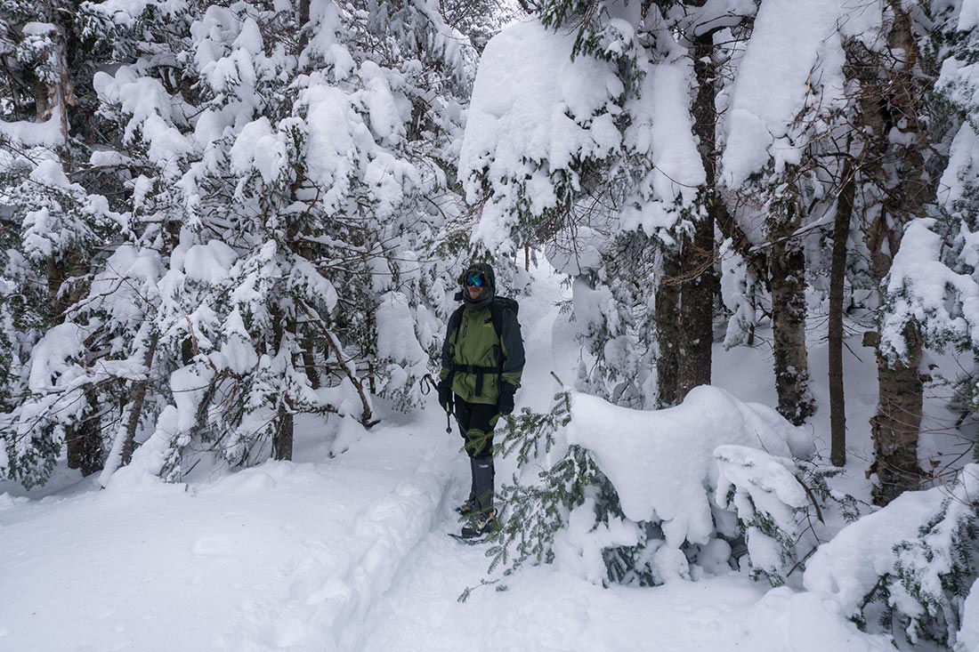


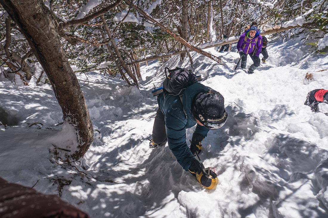
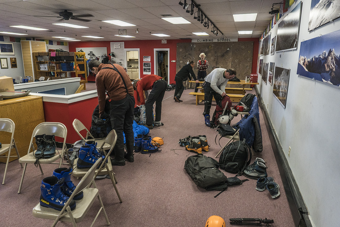
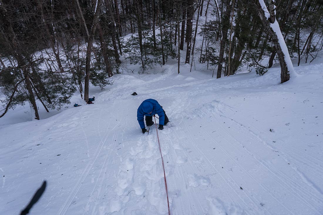
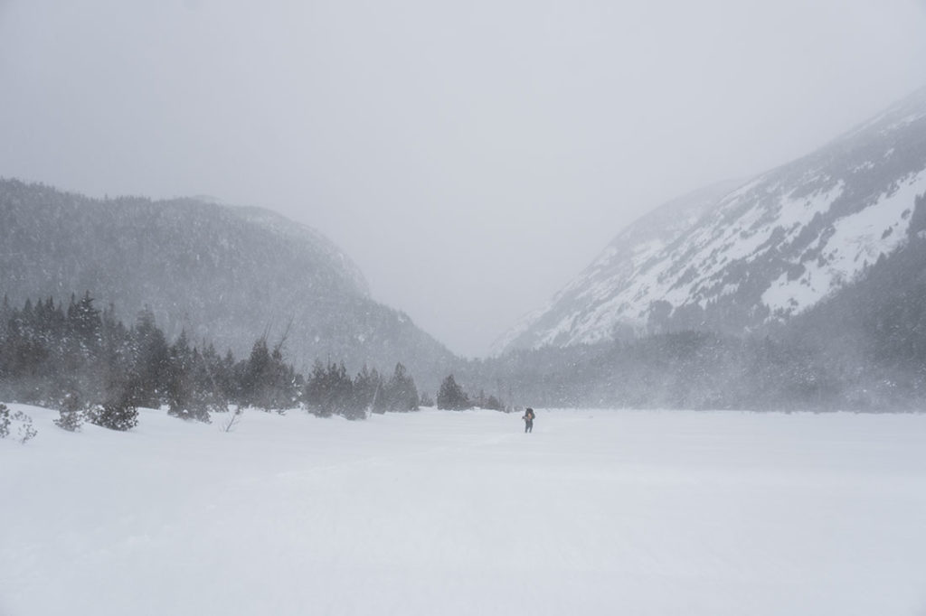 It has been an impressive winter season in North Eastern United States. A good old friend of mine, Alex, was flying from Dallas, TX to join me hiking for few days in Adirondacks and ascent Mt.Washington in NH. Per forecast, right before he arrived, some parts of North East has already received more then 3 feet of fresh snow, including High Peaks Wilderness that we were about to visit, with more snow on the forecast…


 After
After 


