Hiking Storm King Trail in Olympic National Park
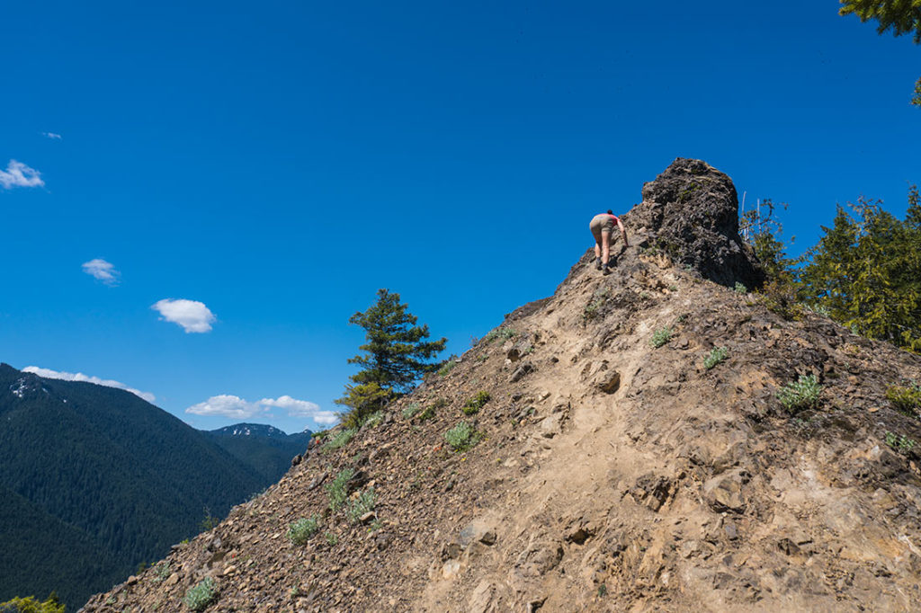
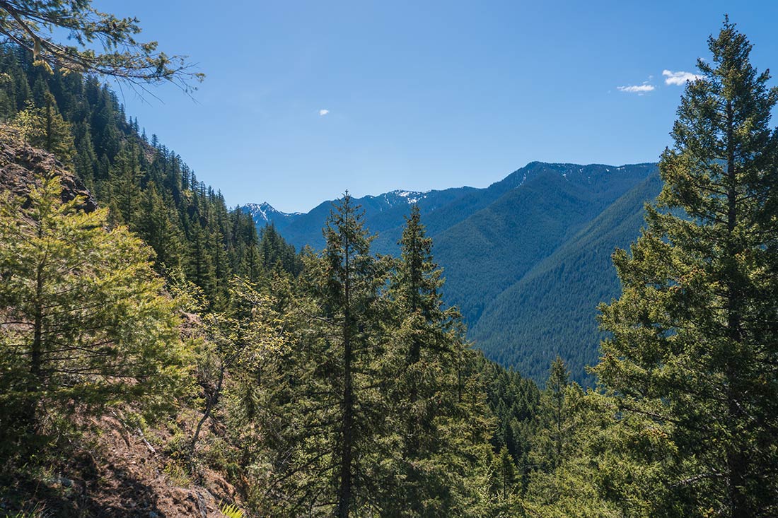
 This is an extremely unique and fun hike! The views at the top are spectacular, overlooking a big part of Olympic National Park and the Vancouver Island. Please keep in mind that this trail might not be for everyone. Toward the end, there are few very steep section where you would have to scramble in order to get to the very top. Please examine some of the photos below and see if this is something that you would like to do.
Hike Information:
- Distance: 3.6mi (6km) roundtrip
- Elevation Gain: 2,000ft (600m)
- Estimated Duration: 2-3Hrs
- Interactive Map: Alltrails Map
- Directions: Trailhead Parking Location
- Important: Hiking shoes with a good tread are highly recommended for this hike


Expect to arrive early in the morning or later in the afternoon to avoid busy crowds. When you reach the location, park your car at the Storm King Rangers Station parking lot. Follow the Marymere Falls Nature Trail that leads to a tunnel under the Route 101. Once through, follow the path until you reach trail junction for Storm King Trail on your left. From here, the trail will take you up almost 2,000 feet through a series of switchbacks.
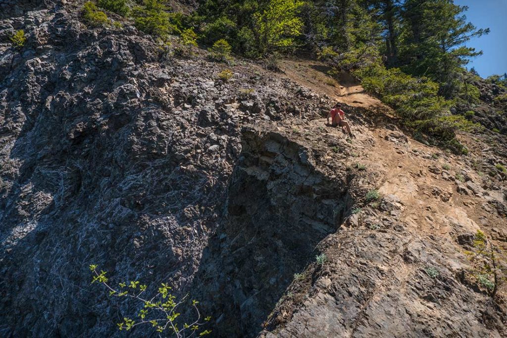


When you reach the exposed area of the steep ridge. You will have to scramble along a hilly gravel path. There were some ropes secured in place that would help you scramble to the up. Since my shoes had a very good grip, I ended up not using the rope. We saw some people wearing regular snickers and were struggling up and down. I suggest keeping a safe distance from each other, just in-case somebody looses a balance and takes you off your feet.


